contact me
Hi! I'm Lindsay Ferrier. You might remember me from a blog called Suburban Turmoil. Well, a lot has changed since I started that blog in 2005. My kids grew up, I got a divorce, and I finally left the suburbs for the heart of Nashville, where I feel like I truly belong. I have no idea what the future will hold and you know what? I'm okay with that. Thrilled, actually. It was time for something totally different.
Here are my 10 All-Time Favorite Hikes in the Nashville Area
July 15, 2021
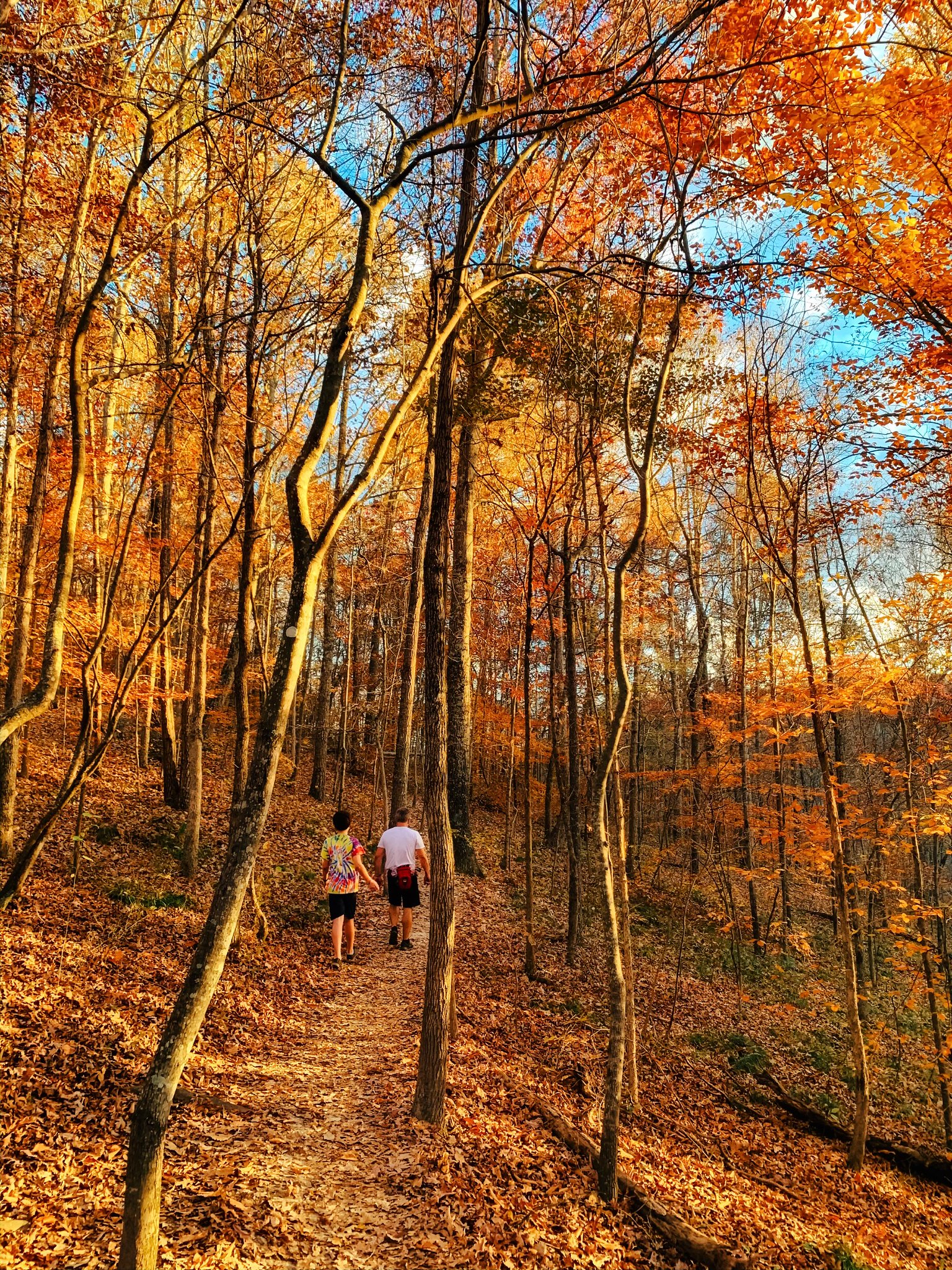
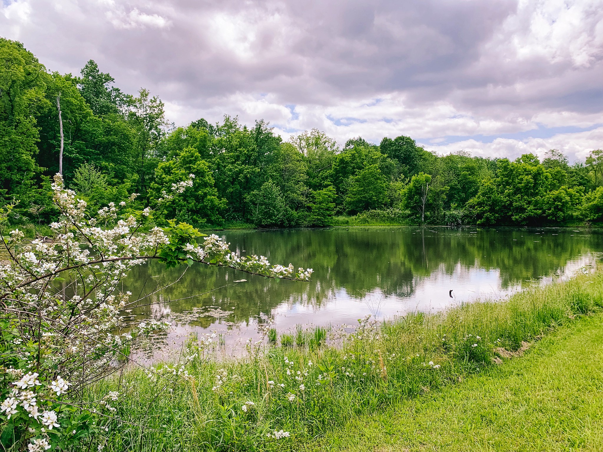
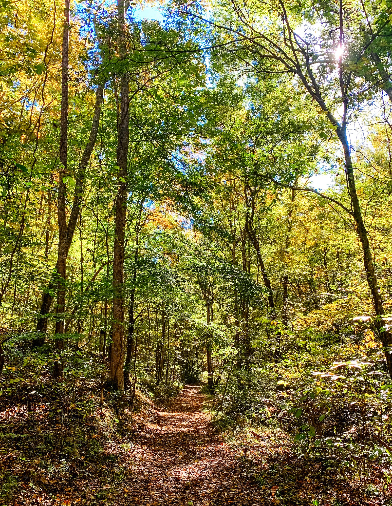
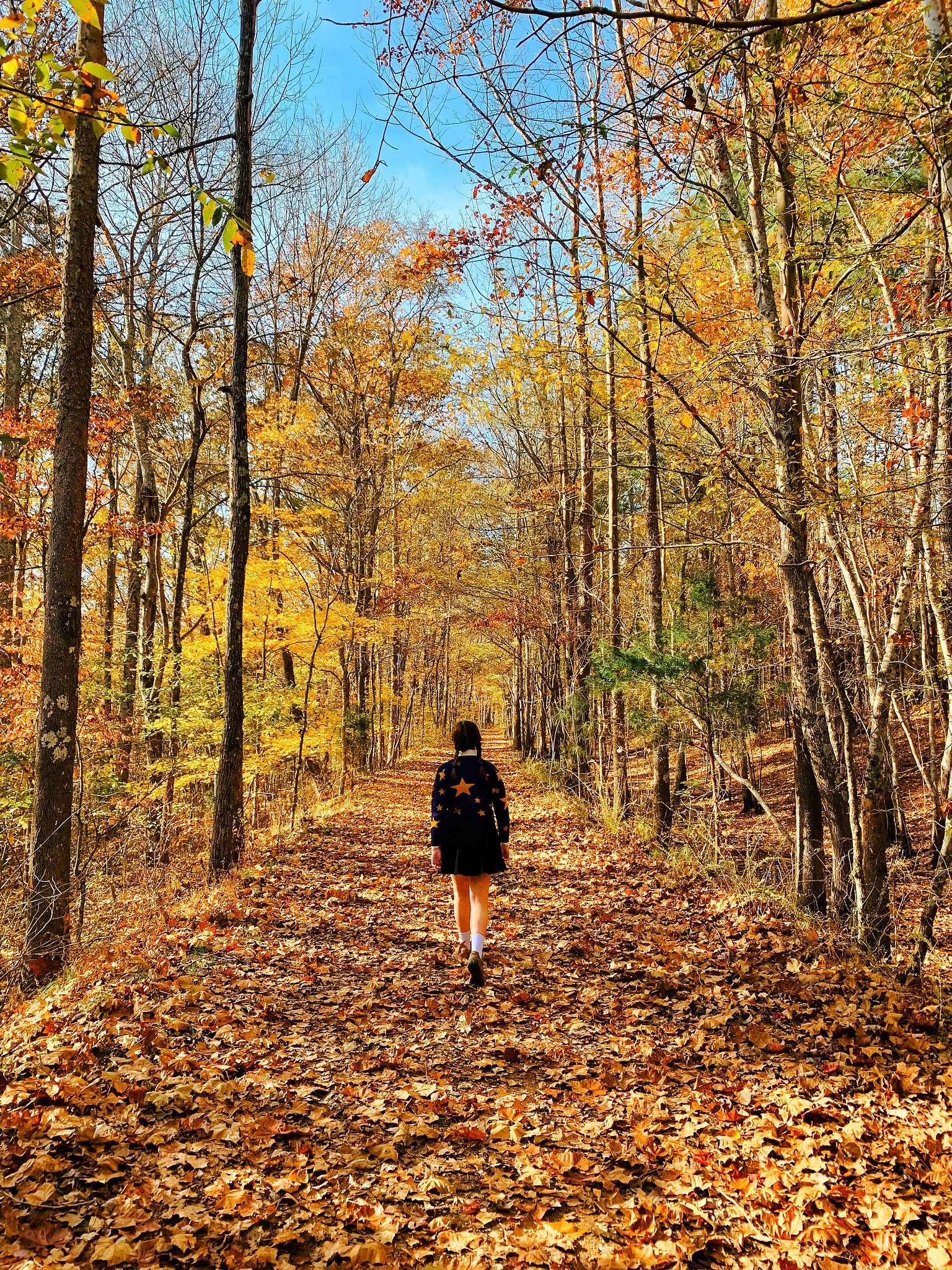
Looking for the best Nashville hikes out there? You’ve come to the right place! I’ve made it my mission over the years to hike all of the Nashville area’s trails and I’m happy to report there are some fantastic ones to choose from. On the trails I’ve listed below, you’ll find amazing scenic views, old growth forest, sparkling lakes, endless green fields, a Sound of Music-worthy hilltop, a couple of picturesque old barns, a lovely river where mastodons once roamed, and even a crumbling dance floor from a bygone era! Here, without further adieu are all of my absolute favorite Nashville trails:
Radnor Lake
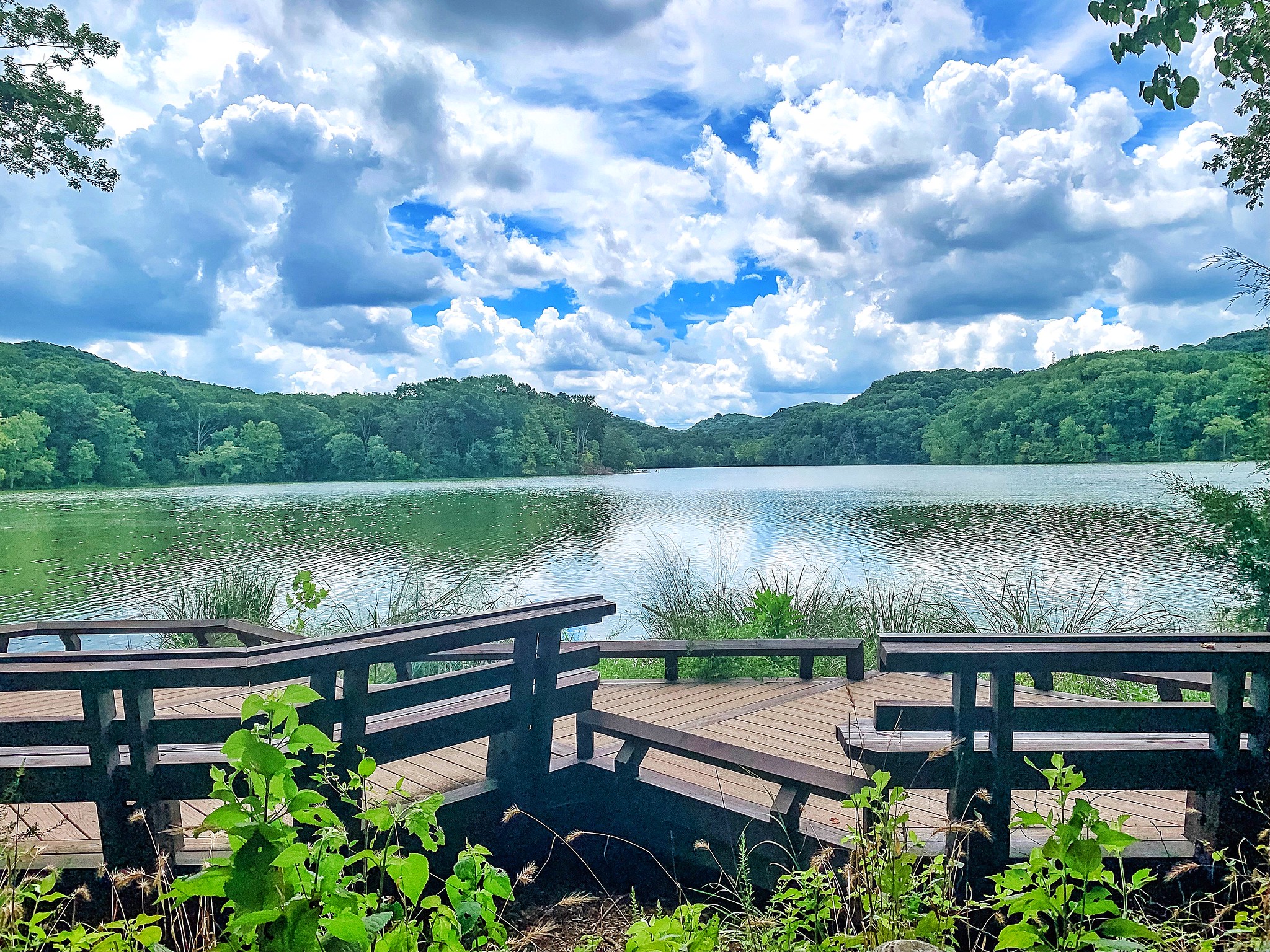
There are so many reasons to love hiking at Radnor Lake. Just a few minutes from downtown Nashville, you’ll feel like you’re worlds away from the city in this gorgeous nature preserve that’s filled with tons of wildlife and one very beautiful lake. My go-to hike here starts at the Visitor Center parking lot. I loop all the way around the lake using the Lake Trail and the South Lake Trail, for a total of 3.2 miles. (Save the Radnor Lake park map in your photos and you won’t get sidetracked by other trails along the way.) This loop gives you a combination of amazing lake views and lush forest — and I consistently see more wildlife here than at any other park in the area. If you want to make your hike a little more challenging, add Ganier Ridge (a hilly, 1.65-mile addition that leaves and then rejoins the Lake Trail) and/or the South Cove Trail (which adds on a little more mileage and hills and leaves and rejoins the South Lake Trail). This is an especially good hike in the summer months because it’s shaded and there’s generally a nice breeze coming off the lake. It’s also very safe for solo hikers, since it’s always busy. I do recommend you AVOID Radnor Lake on weekends — Parking is impossible and it’s packed with people.
One note: Dogs are NOT allowed on the trails here.
Taking kids to Radnor Lake? I wrote a post with all you need to know!
Warner Park
We live just a few minutes from Warner Park, so I’ve gotten to know the trails here very, very well. What I love about this park is that there’s a trail here for just about everyone! In terms of solo hiking here or feeling safe with your kids — Go for it. This park is always filled with people running and walking, so it feels very safe. There are fairly regular break-ins in the parking lots here, so do keep your valuables in your car out of sight.
Our go-to hike here is the Harpeth Woods Trail, a 2.5-mile loop trail with enough hills to make you feel like you’ve had a great workout. The trail is almost entirely shaded and passes a rock quarry that was used back in the 1930s. We access the trail from the main parking lot at the Edwin Warner Park entrance on Hwy. 100.
When I’m up for a challenge, I choose the 4.9-mile Mossy Ridge Trail, which I’ve nicknamed the Buttkicker Trail because it has sooooo many hills. Not only will this trail give you a great workout, but it’s also completely shaded, passes through some really beautiful old-growth forest, and takes you across the top of a small waterfall. To access this trail, we park at the Deep Well Trailhead parking lot (you can find it on Google Maps) off Hwy 100.
If you have small children, I recommend the Hungry Hawk Trail (use the Little Acorn Trail to make it a roughly mile-long loop that takes you back to the Nature Center), a leisurely hike that’s filled with several little adventures your kids will love. This was my go-to trail when my kids were small and we still do it for the nostalgia from time to time now that they’re teens. Get a guide to the trail at the trailhead beside the Nature Center before you set out if it’s available — It has lots of info about what you’ll find along the way.
Our favorite part of the trail is the bird blind. In non-COVID times, a trash can filled with birdseed and a scoop allows you to put birdseed on several stands, then hide behind a viewing wall and watch the birds and chipmunks come to feed. The last time we were there, the birdseed had been removed, so we decided we’d bring our own birdseed next time, just in case. At the top of the trail, there’s an observation deck where you can view the forest below — It’s a great place to stop for a snack and drinks midway through the hike.
Dogs are allowed, but please for the love of god keep your dog on a leash. Unleashed dogs have become a big problem at this park.
Burch Reserve
Technically, the Burch Woods Trail at Burch Reserve is part of Warner Park, but since it’s fairly new and across the street from Warner Park, I will always feel like it’s its own thang. We hike this trail about as much as any trail in Nashville — It’s close to home for us and it’s a perfect length and difficulty for a workout. Also? It’s really pretty. I will say I don’t hike alone at this particular park, only because it is MUCH less trafficked than the Warner Park trails across the street and it’s in an increasingly urban area. There’s only one trail here (although it does have a few very short spurs) and it’s right at three miles, start to finish. The trail passes through a really cool tunnel under the train tracks, over a couple of big hills, through beautiful forest, past an unforgettable meadow, and in the springtime, into the most beautiful honeysuckle fairyland forest (we’re talking ARBORs here) that I’ve ever seen. DO IT.
Do note that dogs are NOT allowed on this trail.
Beaman Park
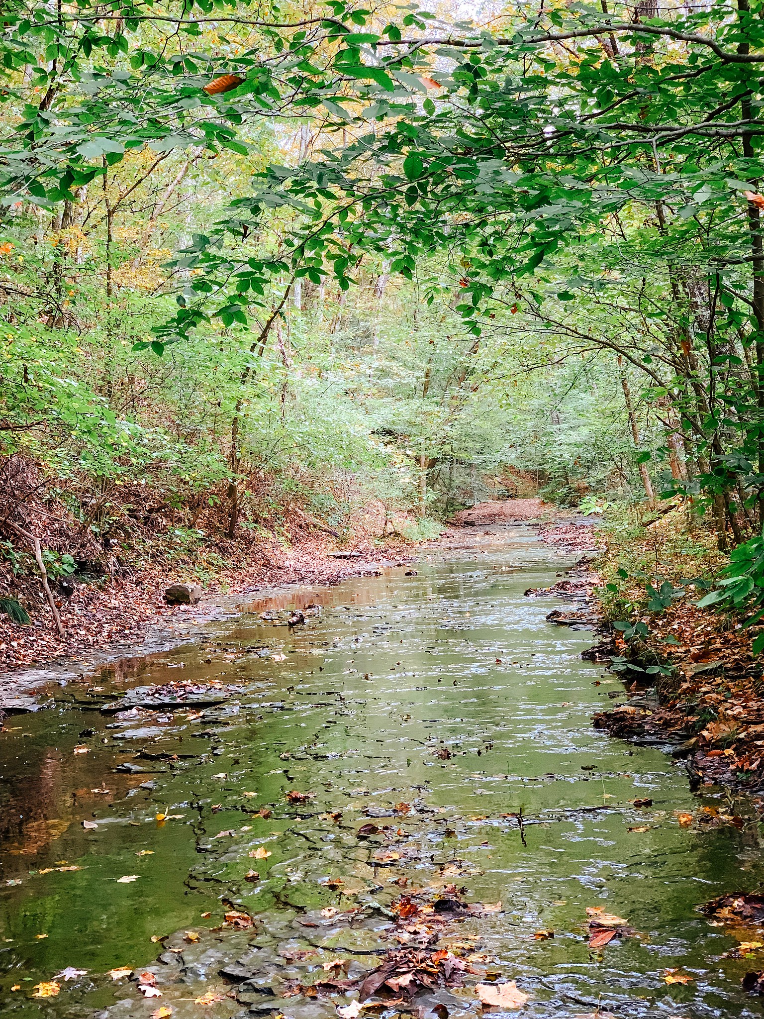
Located just minutes from downtown Nashville, this large and rugged city park truly feels like a hidden gem in Nashville. Our go-to hike is 3.2 miles long — From the Nature Center, we use the Sedge Hill Trail to connect to the Henry Hollow Loop Trail. This is a moderate hike with a few heart rate-raising hills and a fantastic, crystal-clear creek with a smooth rock bottom that’s perfect for splashing around in. Although the bridge that crosses to the Henry Hollow Loop is out of service, there is a path directing you to a creek crossing that’s very shallow (the last time I went, the water was about an inch deep at that point) and very easy to cross. In the springtime, you’ll find some of the most beautiful wildflowers here in all of Nashville.
Brand new at Beaman is the 12-mile Laurel Woods Loop Trail. I realize 12-miles is a lot for most of you (including me!) and this particular trail is rated as strenuous. Fortunately, there’s a cut-through that allows you to make this a 6-mile loop, and I can’t wait to try it out. This trail has taken the place of the former Ridgetop Trail at Beaman Park, which was another favorite of ours.
Safety-wise, I haven’t personally hiked this trail alone, but I feel like it’s pretty safe, especially if you have a dog. There are car break-ins from time to time in the parking lots here, but I think you’re unlikely to encounter any issues on the trails themselves.
Check out the Beaman Park trail map for more information.
Hidden Lake
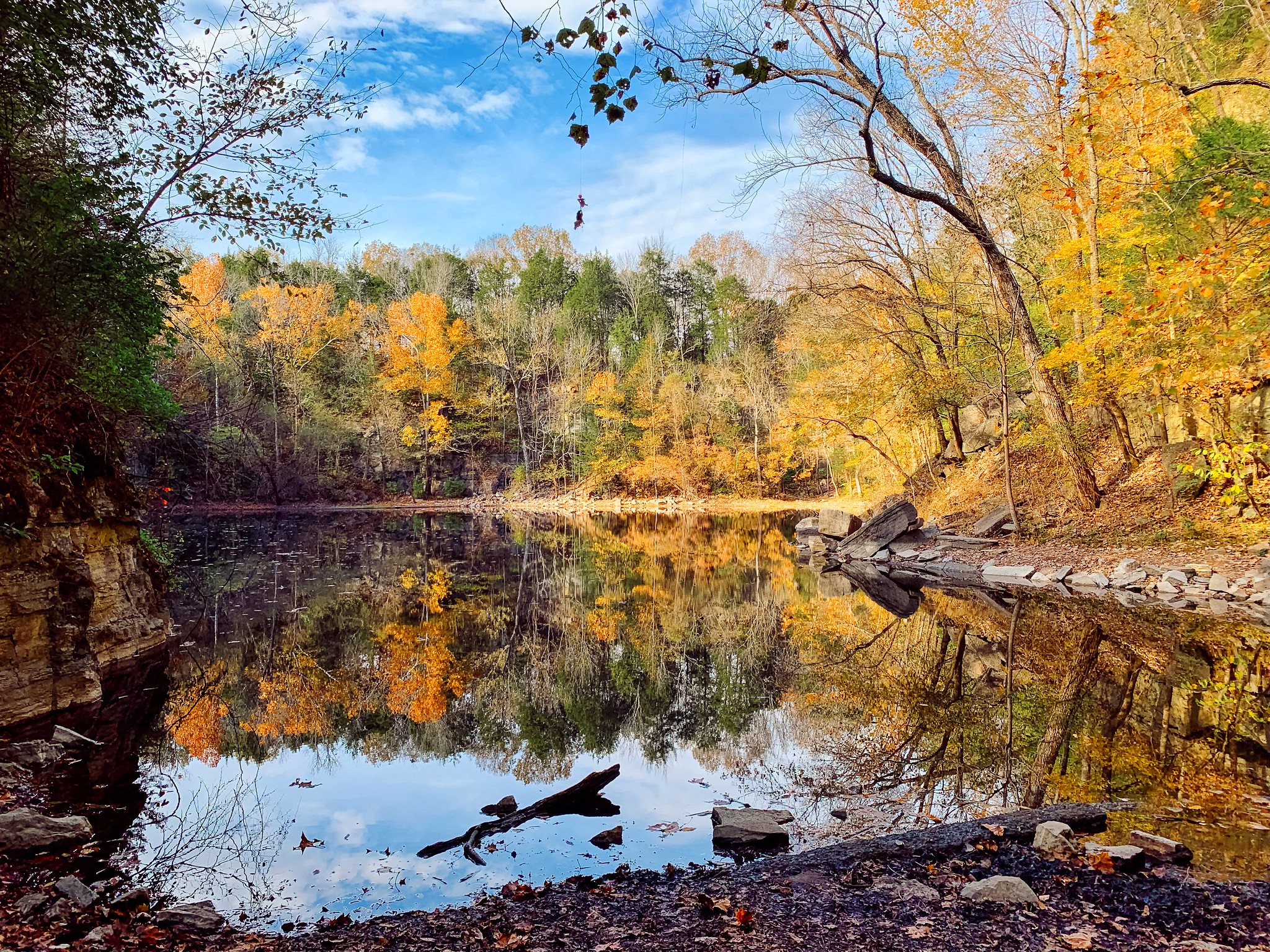
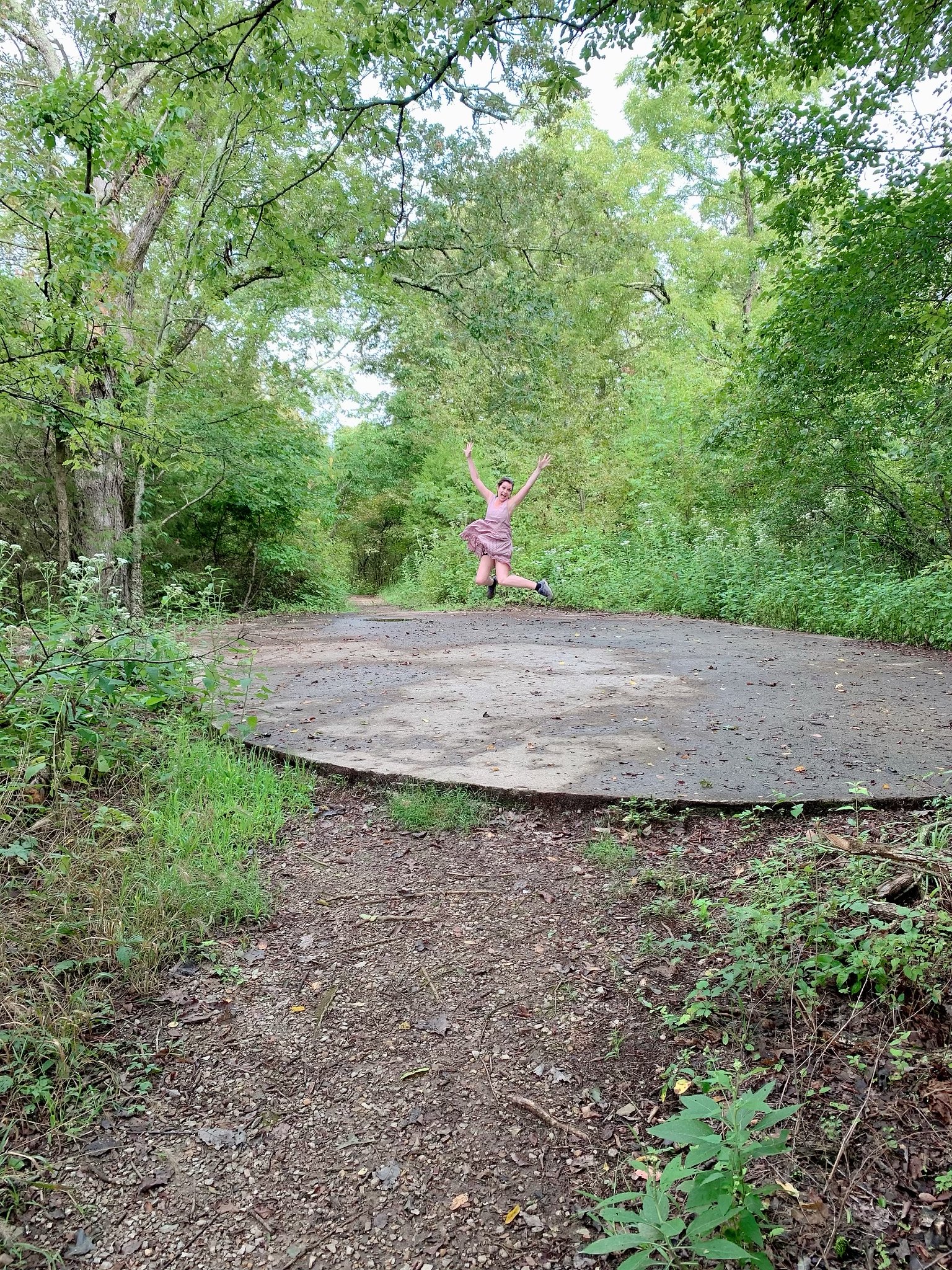
Did you know one of the most beautiful trails in Tennessee can be found right here in Nashville? Part of Harpeth River State Park, the Hidden Lake Trail is an unforgettable 2-mile loop around a lake with a rich history — It was once the ‘world’s largest swimming pool!’ Today, nature has reclaimed the area, but you can still see signs of its 1930s-era heyday on your hike in the form of an old concrete dance floor overlooking the lake, an abandoned house, and other fascinating remnants of yesteryear. You’ll also enjoy some truly amazing cliffside views of the lake, the Harpeth River, and the rolling hills beyond it.
A few tips to make the most of this hike — When you get to the loop and can choose whether to go right or left, I suggest you go left — You’ll make a short, steep climb up to the cliffs surrounding the lake and I’ve found it’s much easier climbing up those cliffs and then ambling back down around the loop rather than trying the opposite. Another tip: Right after you’ve made the fork, keep an eye out for a small path off to the right side that appears to go up over an embankment — Right over that little hill is another, smaller lake that’s no less beautiful than the larger one. Finally, although kids LOVE this hike, make sure they’re old enough to stay by your side — There are a couple of spots where they could fall and seriously injure themselves if they’re not careful.
How safe is this trail? Put it this way — If there were several cars in the parking lot when I arrived (and there generally are- It’s become quite a popular trail), I’d hike it alone. If there weren’t, I probably would not. If you want to hike alone, I suggest you go on a weekend.
Narrows of the Harpeth/ Bluff Overlook Trails
The Harpeth River State Park is also home to a 1-mile, out-and-back trail that will take you to Pattison Forge, the first full-scale tunnel ever constructed in the United States. Dug by pig iron producer Montgomery Bell’s slaves in the early 1800s, it still stands today — although it was severely damaged when vandals set a fire inside it several years ago, and is no longer safe to walk through. The tunnel actually runs through a bluff at the narrowest point where the Harpeth River forms a loop — The water that rushed through the tunnel was used as power to operate a forge.
You can access the trail to Pattison Forge by heading to 1254 Narrows of the Harpeth Road in Kingston Springs. The parking area is small, but there’s an overflow parking area if you keep driving down the road — Just follow the signs. You may also want to print out a Harpeth River State Park map before you go. Once you arrive, first take the wooden staircase in the parking area down to the base of the limestone cliff. There, you’ll see the tunnel’s entrance, where the water flows in. To get to the other side of the tunnel where the water flows out, walk back along the road that leads to the parking lot. You’ll see signs for the trailhead just past the cliffs on your left.
After you’ve gone to Pattison Forge, head back to the trailhead and go in the opposite direction (don’t worry, there’s a sign to guide you) to the Bluff Overlook. This short, steep trail leads to an overlook that you’ve just got to see for yourself. Although it’s quite a climb, it’s only 1/3-mile long, so if you’re in reasonably good shape, you’ll be fine — although I wouldn’t recommend this trail for children under five or anyone with mobility issues.
For more on these trails, including the area’s fascinating history, see my full post here.
Montgomery Bell State Park
Boy, we just can’t get away from ole Montgomery Bell, can we? An entire state park is named after the man — and it has some excellent hiking trails. Located in Dickson, it’s about 30 minutes outside Nashville and includes a swimming lake, campgrounds, cabins, a golf course , an inn and miles and miles of hiking and horse trails. There are lots of trails to choose from here and they can be very confusing, so the first thing you want to do when you hike here for the first time is head to the visitor center and buy a trail map for $2. Trust me when I tell you — YOU NEED THIS MAP. And after you’ve bought it, put it in a safe place (your glove compartment, perhaps?) so that you don’t have to buy one again. I think we have four or five of them now!
We come to this park regularly for a scenic five-mile loop we’ve created that includes parts of the Wildcat Trail, the Ore Pit Loop Trail, the Spillway Trail (my favorite trail in the park), and the Montgomery Bell Trail. If you want our specific path, head here and I’ll give you all the details. On our loop, we pass through deep woods, around pits dug in the ground by workers 150 years ago, past a lovely little church and log cabin, along the most gorgeous creek, and out to the lake. The trails have some hills, but it’s an easier hike than the Mossy Ridge Trail at Warner Park. If you’re really up for a challenge, consider hiking the entirety of the Montgomery Bell Loop Trail, a 10.4-mile trail that winds all the way around the perimeter of the park. This trail is on my bucket list!
Safety wise? I’d say it’s pretty safe, partly because a popular campsite along the Wildcat Trail and a park road you cross over a few times during your hike means there are almost always people somewhere nearby. I’ve hiked here dozens of times and it’s never felt sketchy.
Timberland Park
Timberland Park is probably my favorite park secret in easy driving distance of Nashville. Located on the Natchez Trace Parkway about ten minutes from where the Trace begins near the Loveless Cafe, this park has several hiking trails very similar to the ones you’d find at Warner Park — without the crowds! While all the park’s trails are nice and you can easily combine them to create a 2-mile hike, my favorite trail here by far is the Big East Fork Reserve Trail. For me, this trail has got it all. For about the first mile, you’ll meander through some really beautiful forest that’s often filled with deer (I consistently see more deer here than anywhere else, and often — I guess because of all the hills — they’re RUNNING, which is very thrilling to see). After a mile or so, you’ll come out into a gorgeous field surrounded by hills, a beautiful pond that’s a wildlife magnet, and a very interesting greenhouse that looks like aliens built it– always a crowd favorite. Since there are two benches in front of the pond, this is a great spot for lunch or a snack. Circle the pond and you’ll head back into the woods and pass an abandoned hunter’s shack and a cave spring coming out from the bottom of one of the hills. You’ll finish your hike with two major climbs (this is my cardio portion!) back up to the parking area.
I love this hike because while it’s never crowded, it feels very safe, even when hiking alone. The only way to access the trails is by parking in the Timberland lot and passing the visitor’s center, which is staffed with employees who seem to make it a point to notice everyone’s comings and goings. If you’re hiking the Big East Fork Reserve Trail for the first time, I highly recommend you get a map at the front desk in the Visitor’s Center and ask for directions — This hike is technically on private property and the park employees can help you figure out how to get there.
Bowie Park
On the outskirts of Nashville, you’ll find Fairview, a small town with a very big surprise: Bowie Park. This nature park has an unbelievable 17 miles of trails (including horse trails, so, you know, watch your step) that wind around several beautiful ponds and lakes, through pine and hardwood forests and along a very lovely burbling stream. Bowie is another of our go-to hikes and its my kids’ favorite park because it’s nice and FLAT. I also like it because the trails are wider than usual, so I can actually walk beside the person I’m hiking with, which is nice.
The many trails here can be confusing the first few times you hike this park, so definitely print out a Bowie Park trail map before you go. If we’re feeling ambitious, we like to hike the 5-mile Perimeter Trail all the way around the park, but typically, I choose a combination of trails that weaves through the lakes, through a forest, and then back out onto the Perimeter Trail to loop back to where we began, for a 3.5-mile total hike. (More specifically, I take the Loblolly Loop to the Twin Lakes Loop to the White Pines Trail out to the Perimeter Trail, then loop back to the Loblolly Loop using the Redbud Trail. Look at the map and it will all make sense.)
This park feels relatively safe, but I’ll be honest — I’ve had a few unsettling incidents at this park and I don’t hike the trails here alone, partly because I like to hike the park’s less-traveled trails. It’s a city park and people like to come here to hang out sometimes around the more remote lakes, so just keep that in mind.
Preservation Park
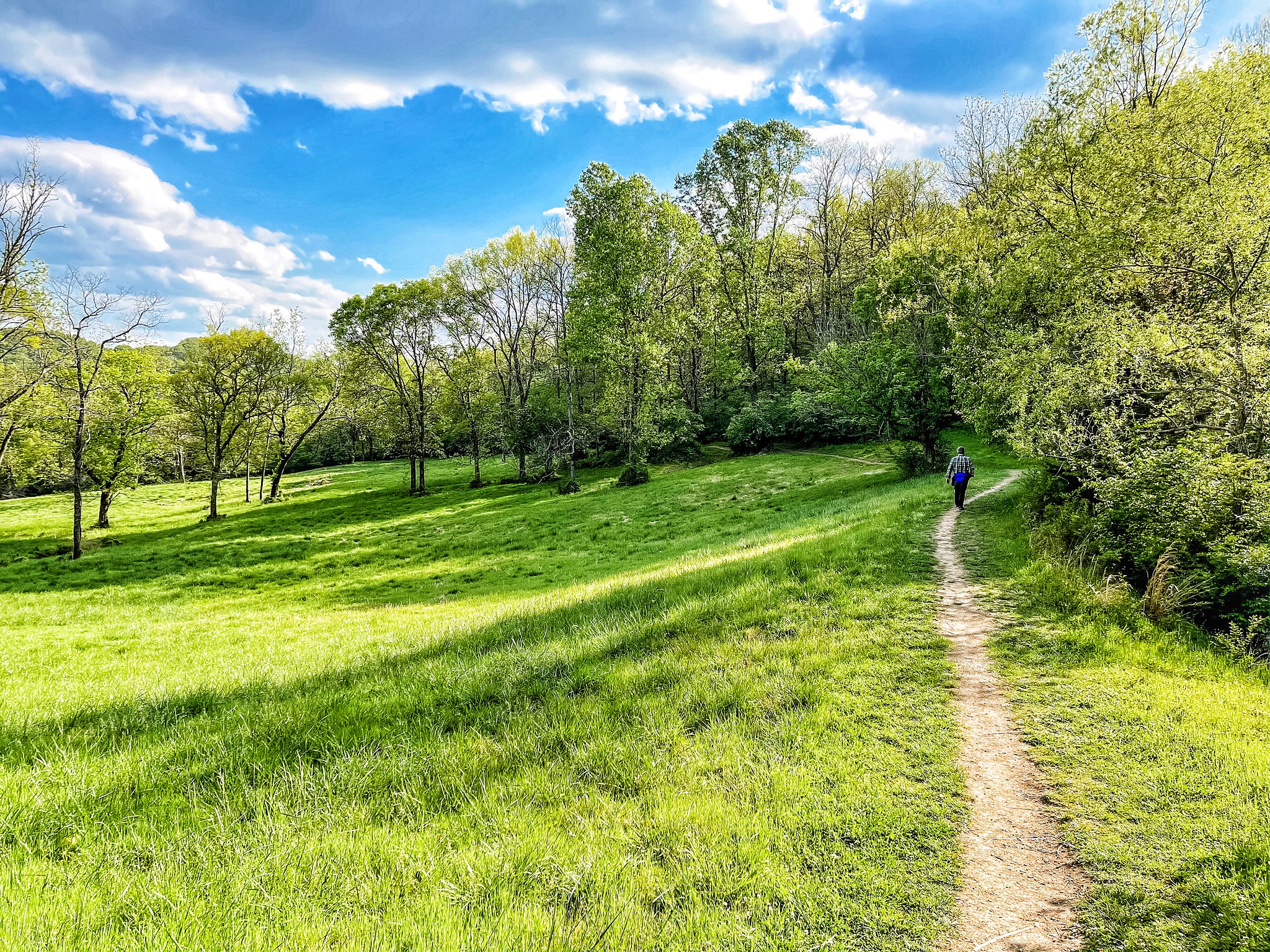
You. Guys. NO ONE seems to know yet about Preservation Park, an amazing new park in Thompson’s Station, so let me (probably) be the first to tell you about it! Built on a former Civil War battlefield, this park’s trail will take you across a lovely field and right up the top of a Sound of Music-worthy hill that offers panoramic views of the stunning Williamson County countryside. This is an AMAZING place for a photograph. After you’ve twirled a few times and figured out how to solve a problem like Maria, you’ll head back down the hill and into a forest. You can loop back for a shorter hike at several points, or you can go all the way to the park’s end before looping back, for a 3.4 mile hike. Use the AllTrails app to help you find your way. I love this hike because it’s totally different from any other hike in the Nashville area, it’s super safe, it’s undiscovered, and it’s all gloriously beautiful. It’s totally worth the very scenic drive to Thompson’s Station to get there. I do recommend choosing this hike on a day that’s not too hot (or at sunset), because you will be in full sun for a good half of your hike.
Got any questions, or another nearby hike I need to know about? Be sure and contact me — I love hearing from you!
Follow all our adventures on Facebook, Instagram, Pinterest, and Twitter!
Leave a Reply Cancel reply
This site uses Akismet to reduce spam. Learn how your comment data is processed.






[…] want to dwell on them. Instead, you want to enjoy every minute of your life. For some, this means taking a hike or bicycle ride as often as possible. Others would rather spend time with friends at local bars […]