contact me
Hi! I'm Lindsay Ferrier. You might remember me from a blog called Suburban Turmoil. Well, a lot has changed since I started that blog in 2005. My kids grew up, I got a divorce, and I finally left the suburbs for the heart of Nashville, where I feel like I truly belong. I have no idea what the future will hold and you know what? I'm okay with that. Thrilled, actually. It was time for something totally different.
Window Cliffs: An Adventure-Filled Hike 1.5 Hours from Nashville
September 28, 2021
My husband and I have been hiking Middle Tennessee’s many trails for the last two decades and we’re finally coming to the end of the line. There are very few trails within a two-hour drive from Nashville that we haven’t tried at least once, which is kind of a downer, but I suppose it had to happen eventually.
This is why I was really excited to find a new-to-us trail a few months ago, one that gets rave reviews from other hikers. It’s called Window Cliffs, it’s an out-and-back-trail that’s just under six miles round-trip and it includes 18 (!!) creek crossings (9 each way), a waterfall, an unusual cliff that’s eroded into a series of stone bridges with ‘windows’ beneath them, and, when you climb up onto those bridges, spectacular views of the Eastern Highland Rim. It’s located in Baxter, Tennessee, just an hour and half from Nashville.
Window Cliffs sounded phenomenal, and we resolved to hike it as soon as possible — but there was one small problem. Several of the reviews said things like ‘The cliffs are narrow and a misstep would be tragic.’ And you guys?
I make missteps all the time.
Seriously. I’m the ultimate bumbler. If there’s a hole on the trail, I will fall in it. I’ve come to terms with my lot and tried to learn to flounder as gracefully as possible, but at Window Cliffs, it looked like one small stumble could end in my untimely demise. Before long, I started seeing Window Death every time I thought about hiking Window Cliffs. And that was — at least temporarily — the end of that.
And then I got an email from the Nashville Hiking Meetup group about a hike to Window Cliffs that would be led by Tennessee State Naturalist Randy Hedgepath, and it was like fate paid me a visit. I know enough about Randy to know that he is the expertiest of experts, and I felt confident that he along with the 15 other hikers who signed up for the event would be able to possibly form a human chain and keep me from falling off the cliffs. I signed my husband and myself up for the hike.
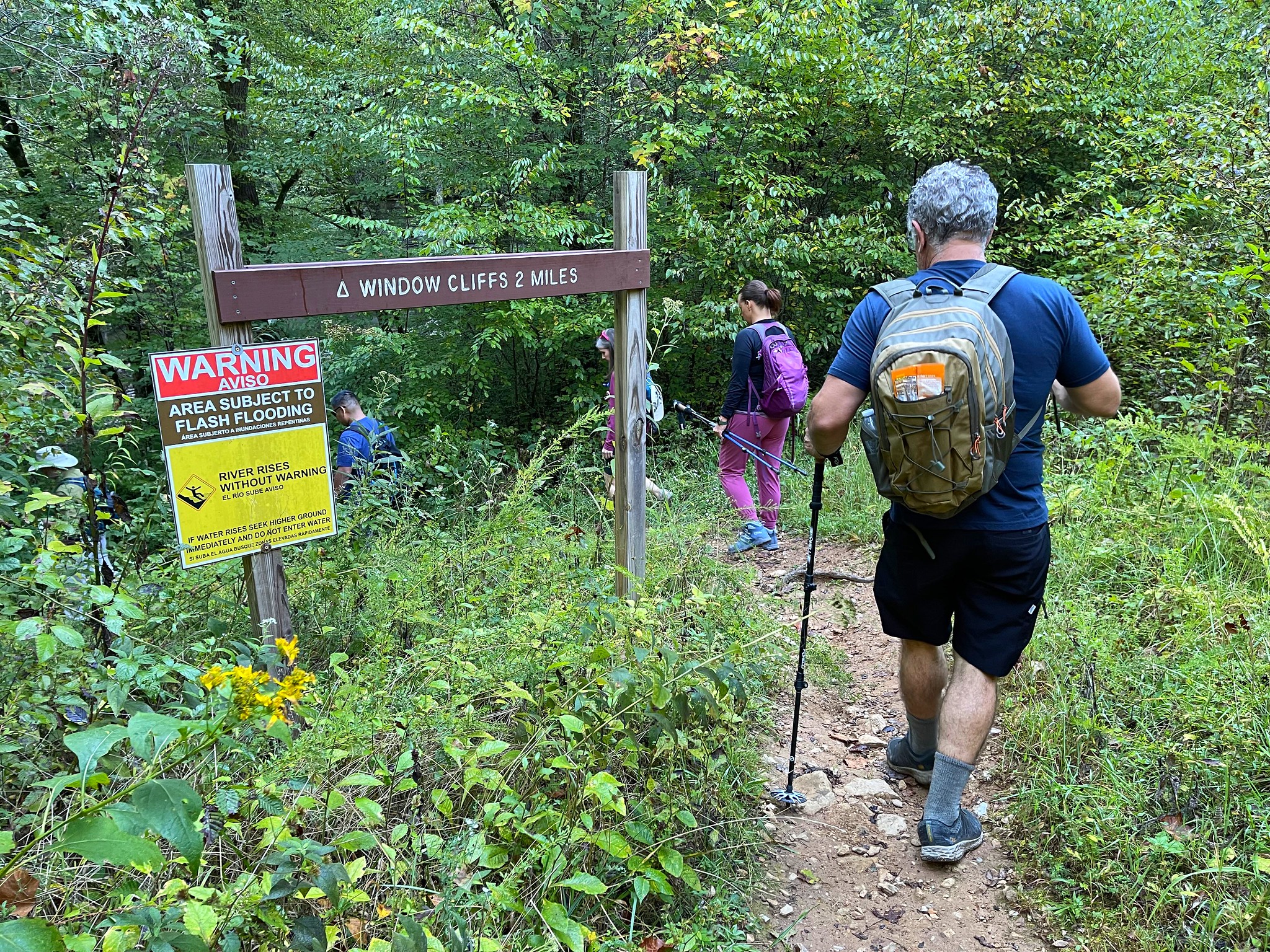
We met the group at the parking lot closest to the trailhead, which you’ll easily find if you enter Old Cane Creek Road in Baxter, TN on Google Maps. Be aware that the final road to the parking lot feels like you’re driving on someone’s private farm. Don’t worry; you didn’t make a wrong turn!
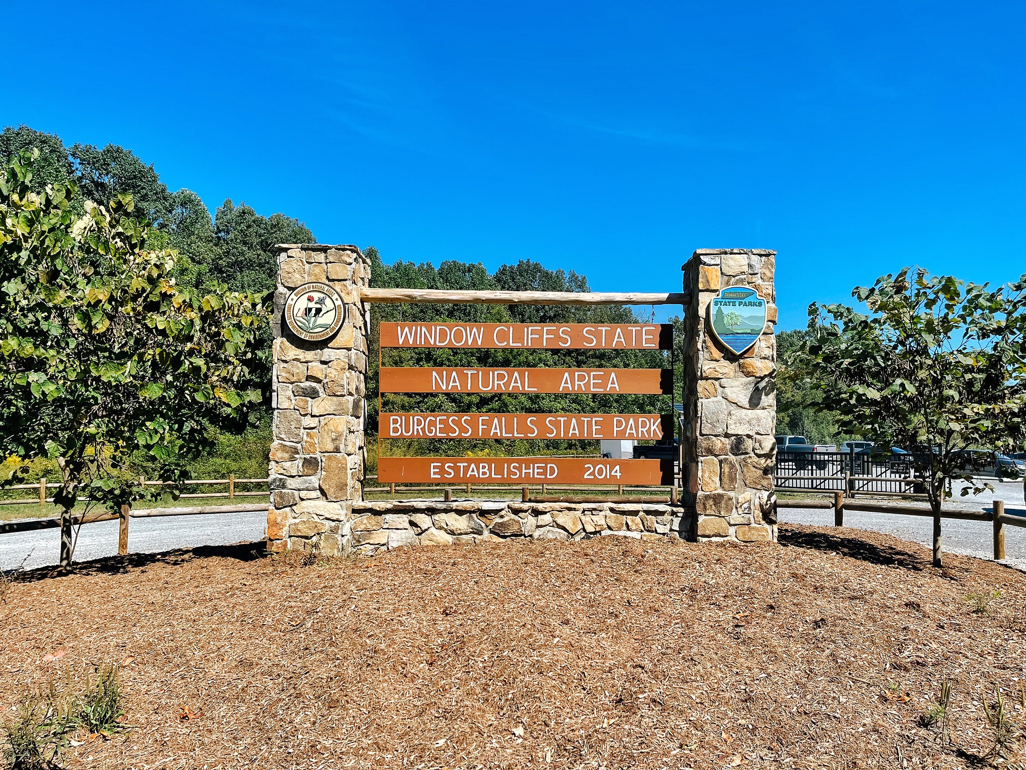
One MAJOR point to note — After a big rain, the creek sometimes gets too high to cross safely. Fortunately, the rangers are really good about closing the park when this happens. Before you make the trip, though, be sure to check the active alerts tab on the Burgess Falls State Park website to make sure you’re cleared to go.
The trail that starts at the parking lot is the only trail you can take to Window Cliffs, so don’t worry about getting lost — You can’t miss it! While the trail is rated by the state as being difficult to strenuous, I’d definitely compare it to the moderate hikes I’ve done. Most of the trail is flat and if you’re in reasonably good shape, you won’t have any trouble. I believe the difficult rating comes because of the slippery creek crossings and the treacherousness of the cliffs themselves (which are very fairly easy to get to). Other than that, it’s not a tough hike at all if you can handle six miles. And you can. I know you can.
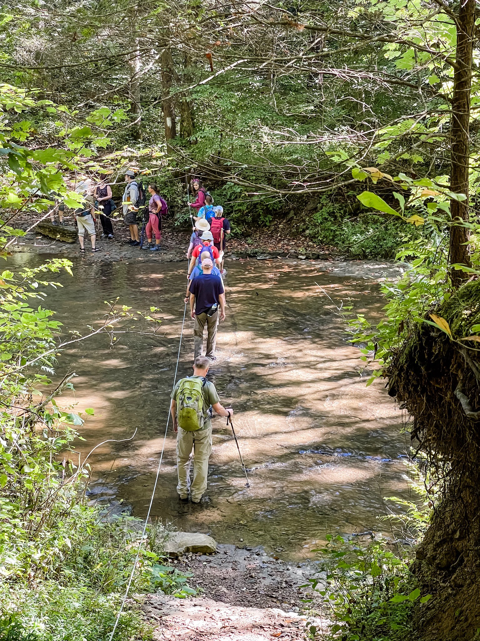
The creek crossings start pretty quickly after you descend into the gorge of the Highland Rim and you’ll encounter one after another from this point onward, so I recommend changing into your water shoes at the first crossing and just keeping them on until you’re done with this portion of the hike. The water was over my knees at a few of the crossings (I believe the first crossing is actually the deepest), but most of the other crossings were much shallower.
I really loved that each crossing had a cable you could hold onto. That was very useful. Another thing we were really glad we had was a set of hiking sticks. I held onto the cable with one hand and held a hiking stick in my other hand and that worked really well to help me keep my balance. Some of the rocks are incredibly slippery and the water is super cold, so because of this, I don’t think I’d do this hike in cold weather. There’s a decent chance you’ll fall at least once and you don’t want to be soaking wet when it’s cold outside.
Of course, all these creek crossings mean lots of gorgeous views like this one. You’ll also see the ruins of several stacked stone walls along the creek that are over a hundred years old. Obviously, the bottomland around this creek would have been popular with farmers back in the day.
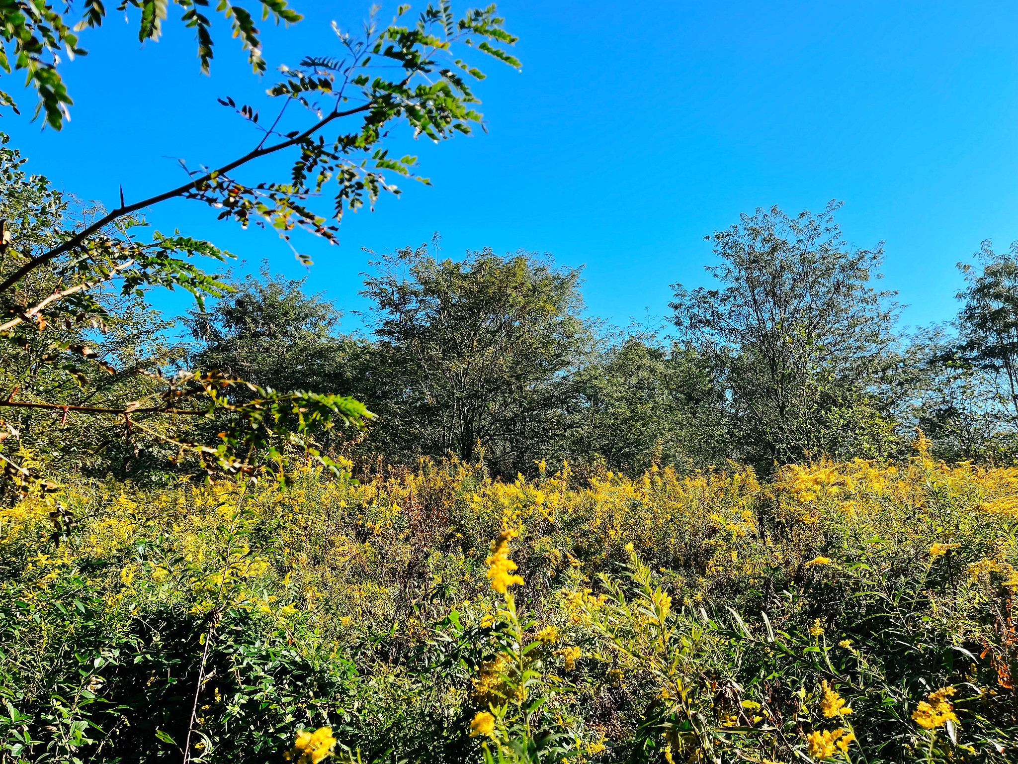
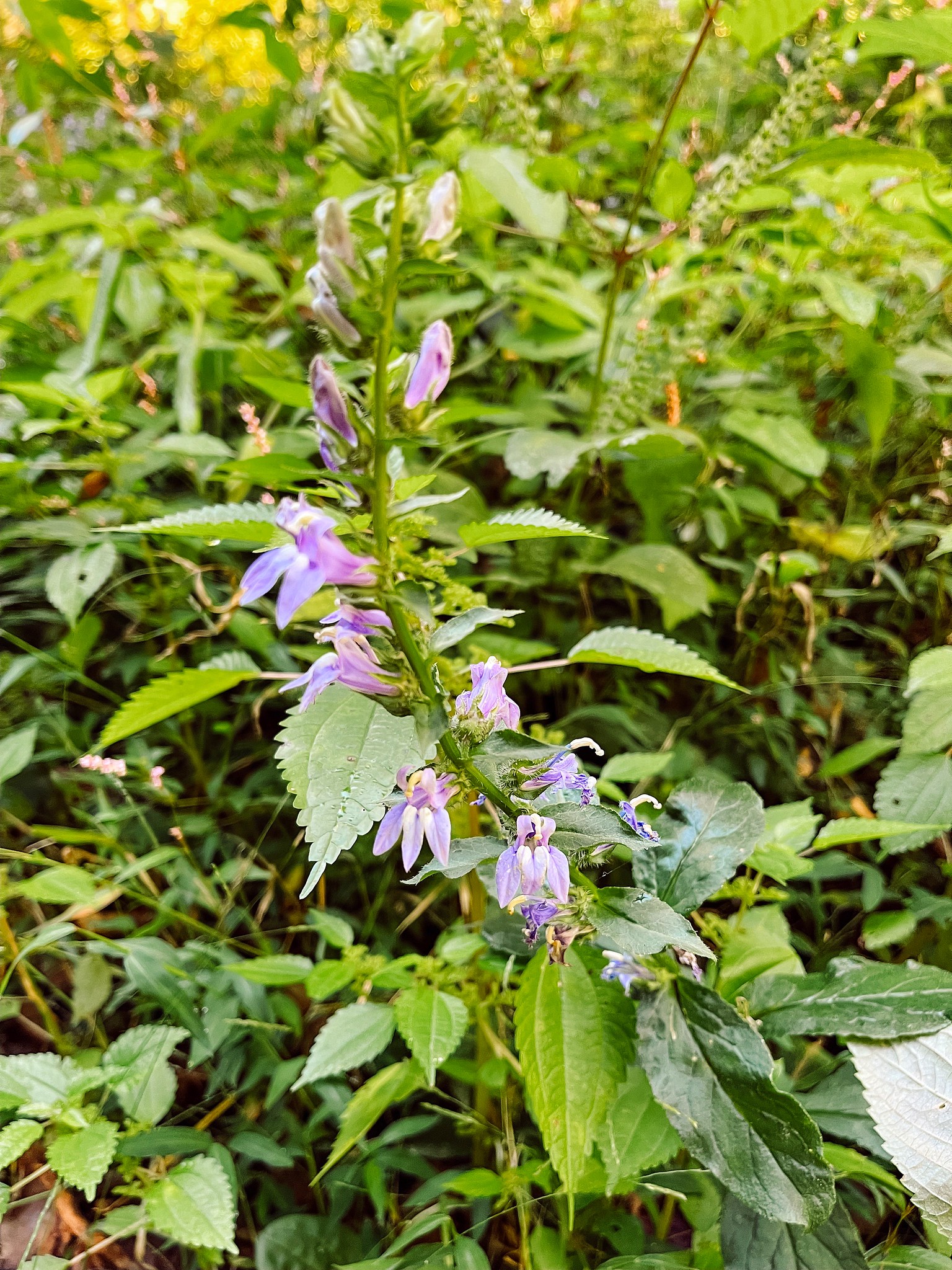
In September, there are also a surprising number of late summer flowers. Goldenrod was growing everywhere, along with woodland phlox, field thistle, pink turtlehead, and many more. Randy Hedgepath AND Assistant State Naturalist Holly Taylor were both on the hike and pointing out interesting plants everywhere we looked!
Like this lovely great blue lobelia, for example.
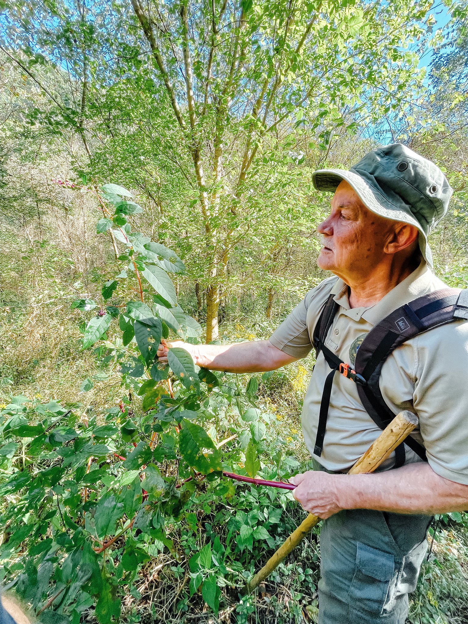
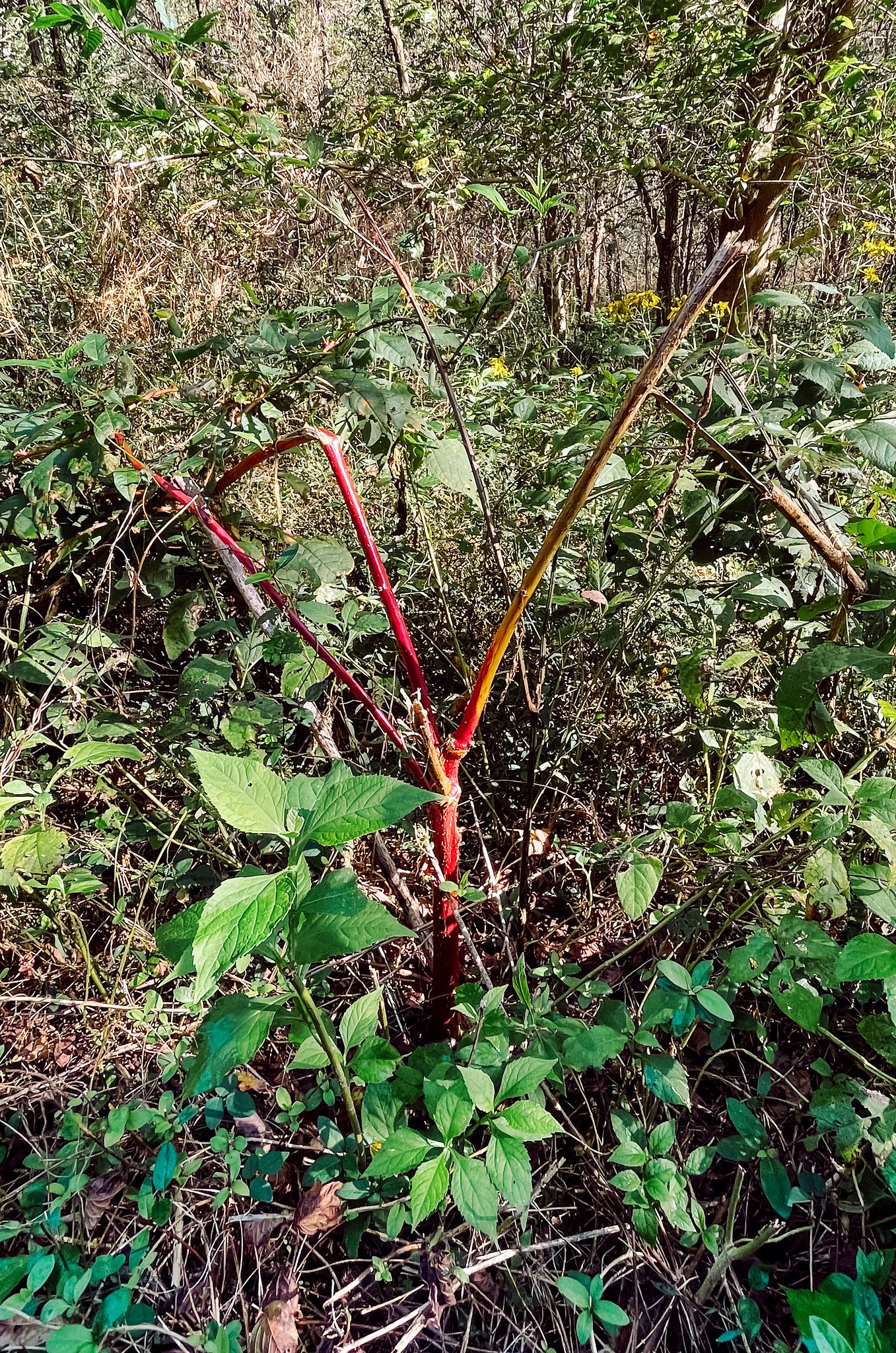
I was most excited when Randy helped us identify the pokeweed plant — The leaves of this plant are used to make that fabled Southern dish known as poke sallet, which I’ve been dying to try making myself. Once he showed us what it looked like, we noticed it growing pretty much everywhere.
He did warn us, though, that when the stalk turns purple like this, the leaves become toxic and shouldn’t be eaten. Apparently, poke sallet should be made only from leaves harvested in the spring, so we will just have to wait until then to experience it.
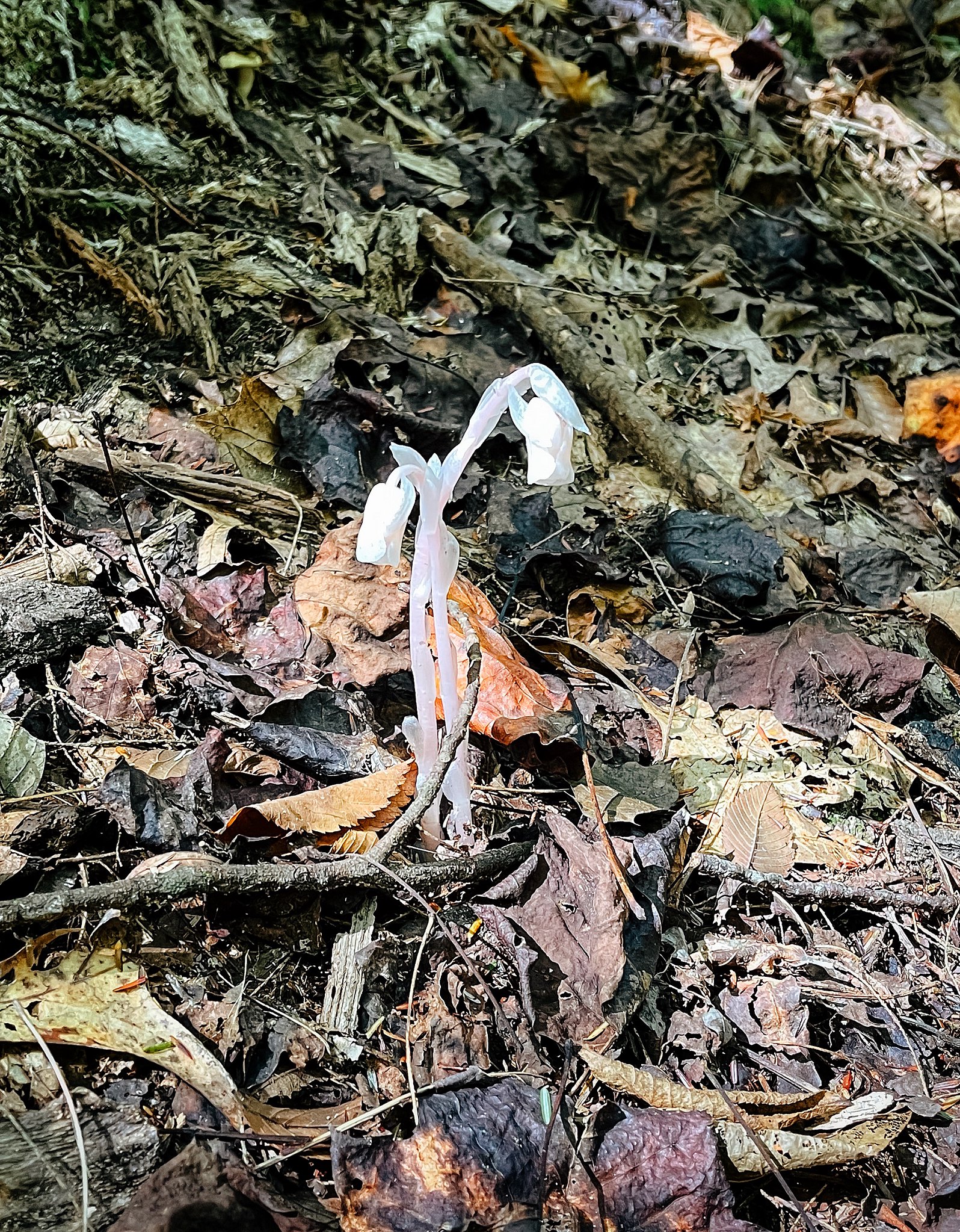
The most interesting sight to me was this chlorophyll-less flower, known as the Ghost Pipe. It’s a non-photosynthetic plant, so it uses the surrounding trees as its food source instead of the sun.
Holly also pointed out a grove of river cane, a native bamboo species that’s increasingly rare in Tennessee. The Cherokee Indians used river cane for basketmaking and actually cultivated fields of it just for that purpose. Part of the reason river cane is getting hard to find is that it only flowers and produces seeds every 30-40 years!
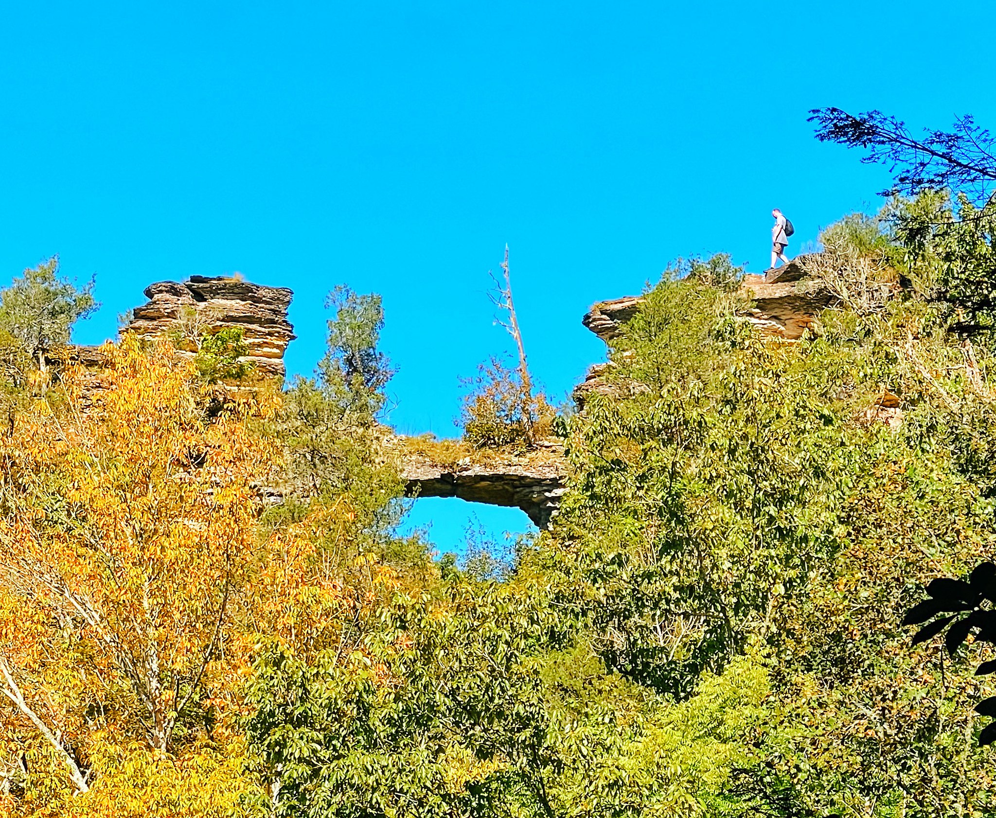
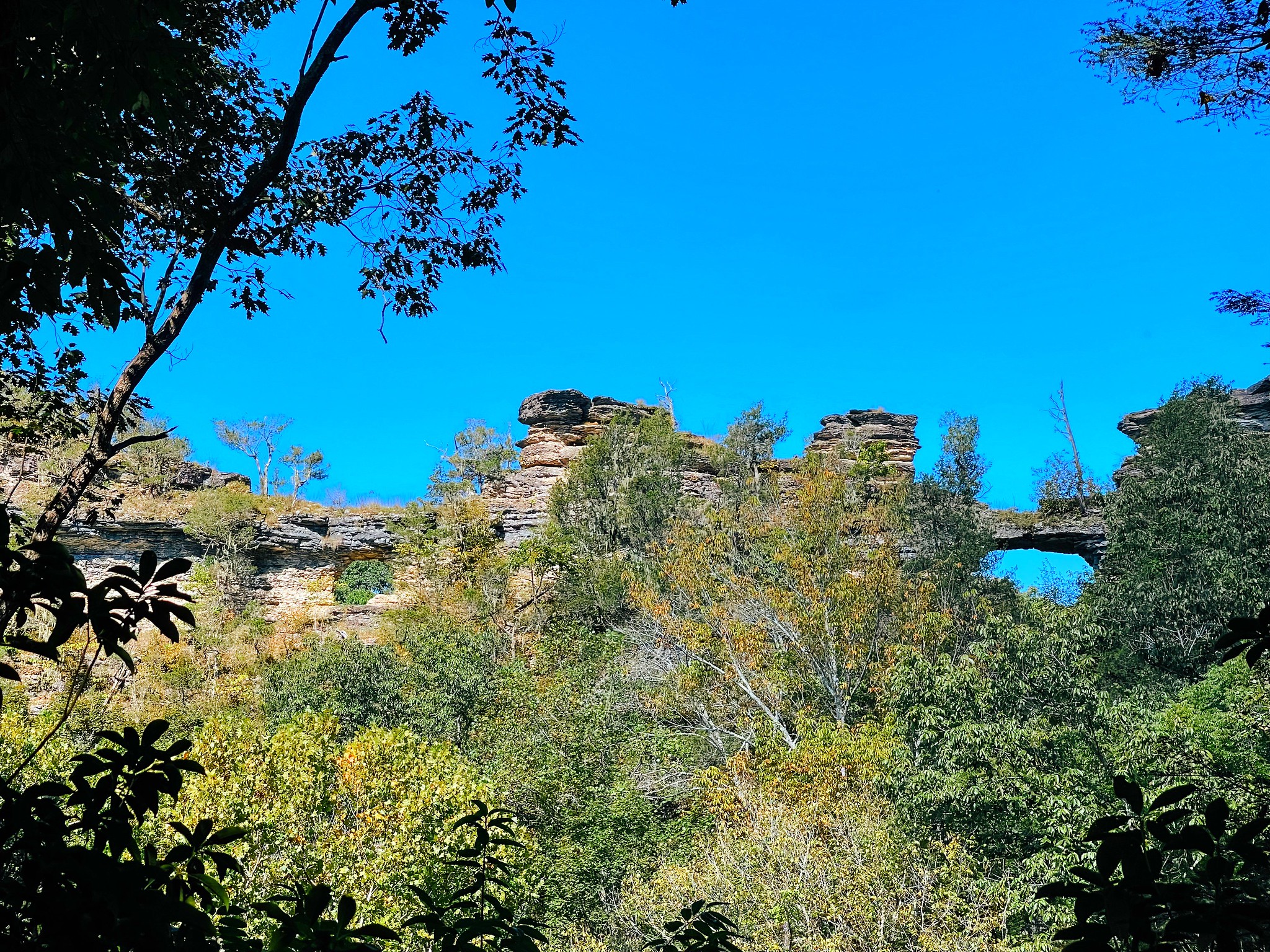
After crossing the creek nine times (fortunately, a couple of those creek crossings were dry!), we reached the overlook that gave us a beautiful view of the cliffs themselves. I was amazed, to be honest. I’ve never seen cliffs like these in Tennessee and looking at them, I felt like I was in another part of the country. The cliffs are limestone, which is made from the fossilized remains of marine creatures that lived here when the state was covered by water. Over time, wind and water eroded the limestone to form the outcroppings and windows we see today.
One indication of how unusual this formation is here is that it’s home to two plants that are incredibly rare in Tennessee — The northern white cedar and plains muhly, a grass more commonly found on prairies in the midwest.
While we were looking at the cliffs, a man walked out on them. This gives you a good idea of just how high up these narrow cliffs are when you venture out on top of them. At this moment, I got a little weak-kneed, I’m not gonna lie.
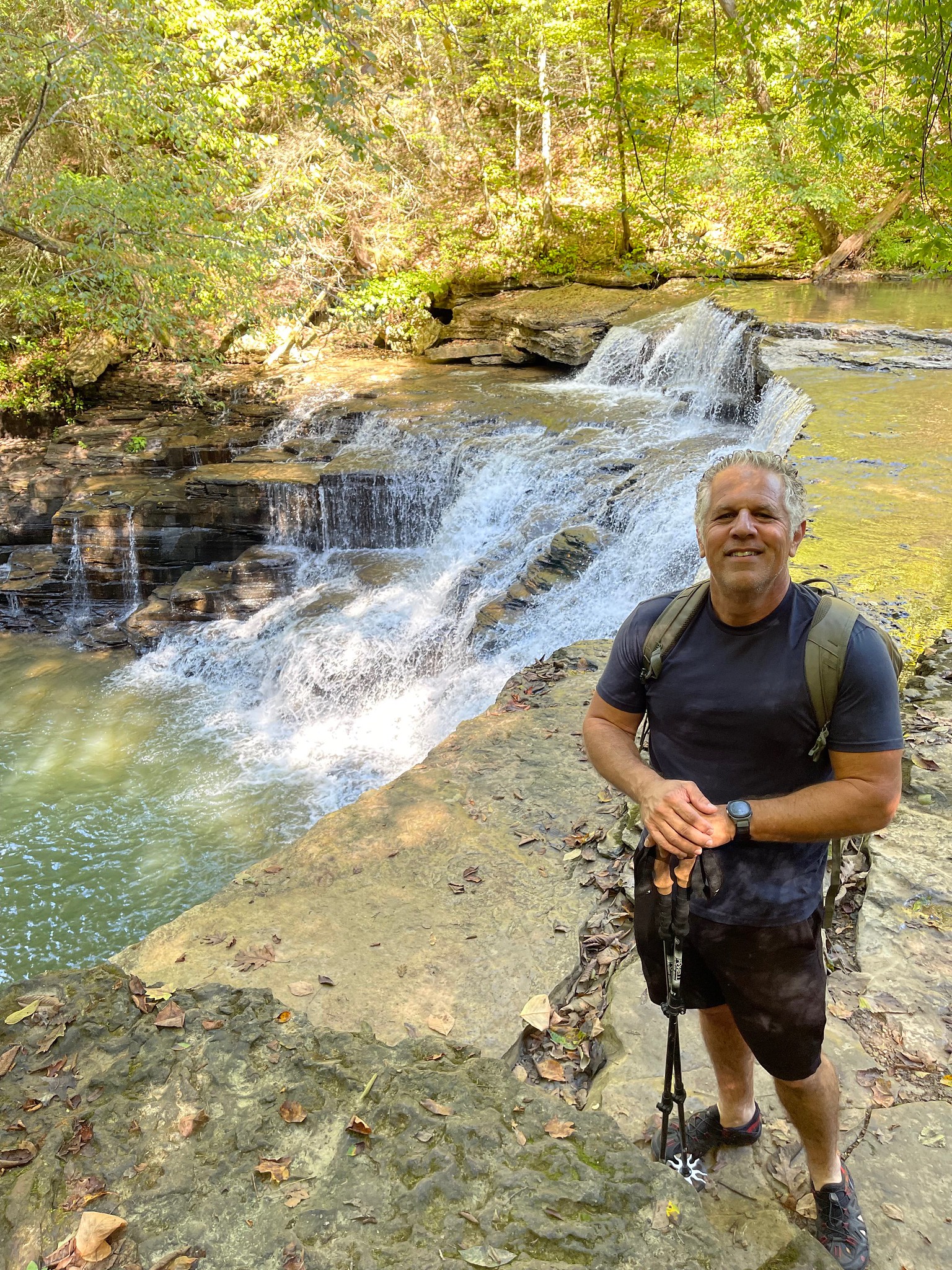
We kept walking and came across another major highlight of this trail — Window Cliffs Falls. This was another surprise. This waterfall is impressive, and I was not expecting it!
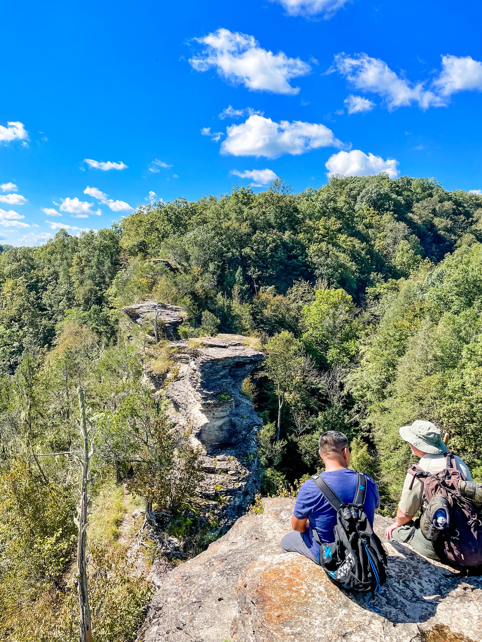
Shortly after the waterfall, the climb to the cliffs began. I was expecting a long uphill climb, but it actually wasn’t bad at all. The trail ends at the cliffs themselves and you can climb up on the rocks (it’s basically two big steps up) and walk out on top of them. You are not allowed to climb on the sides of the cliffs or go down to the windows themselves, since the rock is eroding and the state wants to preserve this formation for as long as possible.
I got out onto the first rock and, well, that was as far as I got. The top of the cliffs is only about ten feet wide, with a steep drop on either side. If you’re not afraid of heights, you’ll love it! If you’re like me and are convinced that you’re destined to trip over your sandal strap and plunge to your death, you might want to stick with the first or second rock and enjoy the view from there.
The great thing about this hike is that even if you’re afraid of heights, there are so many other elements that make this trail wonderful, from the creek crossings to the crumbling stone walls to the cliff overlook to the gorgeous waterfall. I love trails that have lots of different points of interest, and this one definitely qualifies!
Dogs aren’t allowed at this park because of the cliff situation. Park hours are 8am to one hour before sunset and there’s an automatic gate that shuts off the parking lot after hours, so you definitely want to avoid getting stuck here overnight!
For this hike, you’ll definitely want to bring snacks, plenty of water, and water shoes. I’d really recommend that you do what we did and bring both hiking boots and water shoes — You’ll want your hiking shoes for the big hill at the beginning and end of the hike and you’ll want your water shoes for the rest of it. The hike is long enough that if you wear water shoes only, you’re likely to get blisters. Holly clipped her wet water shoes to her backpack with a snap hook carabiner, which I thought was really smart. I’ve now added a carabiner to my Amazon shopping list.
Early fall is a perfect time to hike to Window Cliffs — The weather has cooled down, but the creek water isn’t so cold that it’s uncomfortable to make the water crossings. If you have time, you’ll want to pair this hike with Burgess Falls, a truly magnificent waterfall that’s a 12-minute drive from the Window Cliffs parking area. The paved trail that takes you to Burgess Falls is less than a mile long. Unfortunately, swimming isn’t allowed here, but the falls are still definitely worth seeing.
Got questions or comments? Contact me. I’d love to hear from you! And to keep up with all our Tennessee adventures, follow me on Facebook, Instagram, Pinterest, and Twitter.
Leave a Reply Cancel reply
This site uses Akismet to reduce spam. Learn how your comment data is processed.
